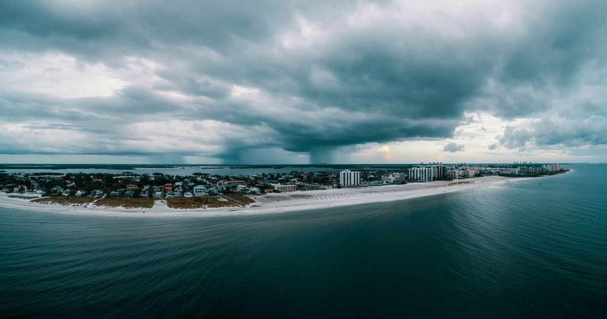

Flood events that used to happen once every decade in coastal cities are now showing up annually. Airports sit just a few feet above the tide line. Neighborhoods that flooded after Hurricane Katrina in 2005 are sinking further every year. The science on all of this is no longer tentative. The maps have been drawn, the subsidence rates measured, and the findings are sitting in peer-reviewed journals.
The cities potentially disappearing by a 2030 timeline isn’t a distant projection. It’s already underway. The ground in cities from Southeast Asia to the Gulf Coast is sinking faster than the sea is rising, and the two forces are meeting each other halfway. By 2030, that combination will have reshaped what “livable” means for hundreds of millions of people.
The harder truth is that this crisis is more complicated than simple sea level rise. Several of these cities are also being undermined from below, their foundations compressed by decades of groundwater extraction. The sinking is often faster than the flooding. Understanding which cities face the sharpest threat, and what a few of them are already doing about it, is where this conversation has to start.
Bangkok: Sinking Faster Than Almost Any City on Earth
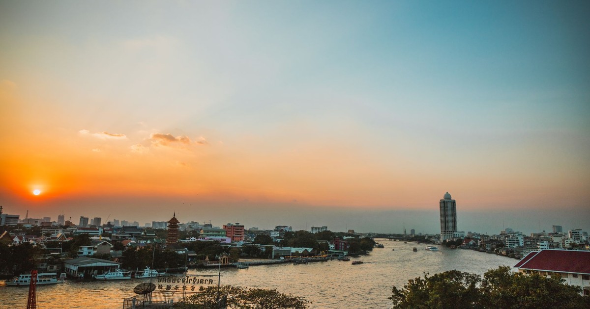
According to Time Out, a 2020 study found that Bangkok could be the city worst hit by global warming in the short term. The Thai capital sits just 1.5 meters above sea level and is sinking by about two to three centimeters a year. It’s also built on very dense clay soil, which makes it even more prone to flooding. By 2030, most of the coastal Tha Kham and Samut Prakan areas could be underwater, as could Bangkok’s main airport, Suvarnabhumi International.
That last detail tends to hit differently than the rest: losing neighborhoods is a catastrophe, but losing the airport turns a flooding problem into an economic collapse. Thailand’s aviation sector, its tourism industry, and its trade infrastructure all run through Suvarnabhumi. When researchers model what a partially submerged Bangkok means for the region, the numbers get uncomfortable quickly.
The sinking here is driven primarily by what happens underground. Bangkok has been extracting groundwater at a rate the soft clay beneath the city was never designed to accommodate. When water is pumped out, the soil compresses, and once compressed, it doesn’t bounce back. The city has made progress on restricting groundwater extraction in recent decades, but the land already lost to subsidence is gone for good. The questions now are how much more will go, and how fast.
Jakarta: The City That Voted With Its Feet
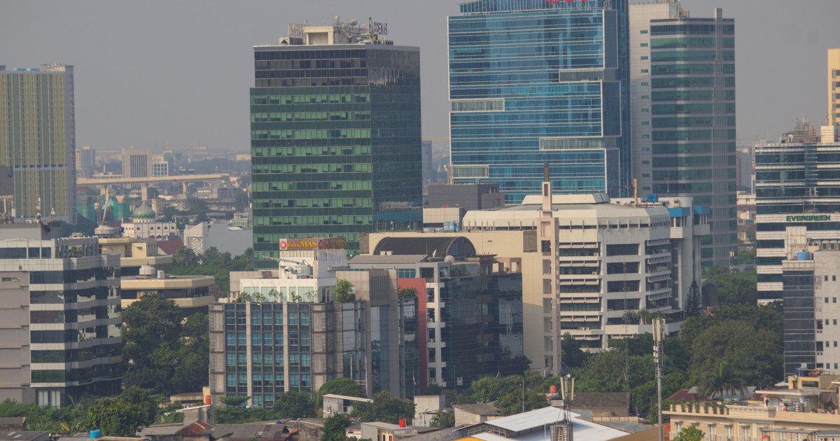
Jakarta offers the most dramatic example of a city confronting its fate directly. According to Environment+Energy Leader, the megacity, home to over 10 million people, is sinking at an alarming rate, a situation that prompted the Indonesian government to relocate the nation’s capital to a new city named Nusantara on the island of Borneo. North Jakarta has sunk 8.2 feet over the past decade, and certain areas continue to descend over 11 inches annually. The average sinking rate across the city is between 0.4 and 5.9 inches annually, and nearly half of Jakarta now sits below sea level.
The Indonesian government did not wait for a climate summit to act. The government plans to invest an estimated $35 billion in the construction of Nusantara, which is expected to be completed by 2045. Indonesia’s capital relocation is sometimes described in urban planning circles as “managed retreat,” the deliberate withdrawal of people and institutions from land that can no longer be defended. The sheer scale of what Jakarta represents separates it from every other city on this list: this isn’t a coastal village being evacuated. It’s a megacity, the administrative heart of the world’s fourth most populous country, being systematically moved over two decades.
The city itself isn’t being abandoned in the sense of being emptied out. Jakarta will remain a massive commercial and cultural hub. But the signal sent by moving the capital is unambiguous: the ground beneath the old city cannot be trusted to hold.
Venice: The City That Built a Wall Around Itself
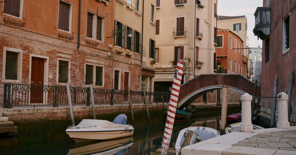
Venice has been sinking for centuries, but the rate accelerated dramatically in the twentieth century due to industrial groundwater extraction, extraction that has since been halted, though not before the damage was done. The city now sinks at approximately two millimeters per year, a rate that sounds slow until you map it against decades of sea level rise already built into the climate system.
Venice’s response has been the MOSE project: a system of 78 mobile floodgates installed on the seafloor at the three inlets connecting the Venetian Lagoon to the Adriatic Sea. When a damaging tide is forecast, the gates are filled with compressed air and rise to block the water. The system became operational in late 2020, and the frequency of its use is itself a measure of the crisis. According to Campaign for a Living Venice, the barriers were active 28 times in 2024, compared to 25 the previous year, with the Centro Maree noting that “the number of tides above 80 centimeters keeps increasing,” driven by rising sea levels due to climate change.
The much-feared rise in sea levels, estimated to reach 30 centimeters by 2050, is already visible. Twenty years ago, the difference between high and low tide was 23 centimeters; today it is 45 centimeters. The MOSE barriers are working, but they were designed for the sea levels of the early 2000s. As the Adriatic continues to rise, the system will need to operate more often, and the lagoon ecosystem, already under pressure, will pay a price for each closure. Venice has bought itself time, and scientists are already debating how much is left.
Miami: Flooding on Sunny Days
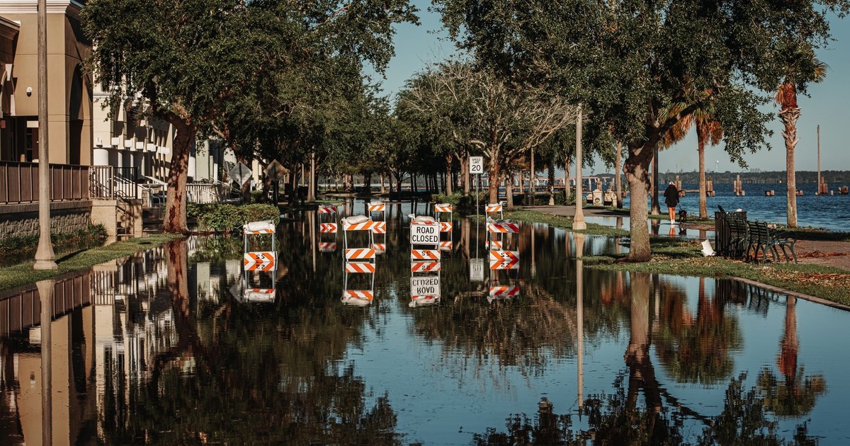
Miami’s problem is not simply that sea levels are rising. It’s that the city is built on porous limestone, which means water doesn’t just come over the seawalls. It comes up through the ground. Storm drains, sewage systems, and roads built for a drier era are now regularly overwhelmed by what engineers call “sunny day flooding”: water rising through the street on a clear afternoon because the tide is high enough to push it through the rock below.
The sea level in South Florida has risen up to 5 inches since 1993 and is expected to rise another 6 inches by 2030. A 6-foot rise by 2100 would cause 1 in 8 properties in Florida to be permanently inundated, not just flood-prone but permanently uninsurable, unsellable, and unlivable. A 2024 Nature study found that Miami showed the greatest share of exposure to flooding among the 32 U.S. coastal cities analyzed, with up to 122,000 people and up to 81,000 properties at risk of flooding by 2050. Coastal subsidence, the gradual sinking of land, is a factor that the study notes is often underrepresented in coastal management policies, meaning inundation could arrive faster than projections suggest.
The city is elevating roads, installing tidal pumps, and raising seawalls. The economics are starting to shift regardless: some insurers have already exited the state, and mortgage lenders are beginning to factor flood risk into long-term loan decisions. The market is pricing in what the political conversation has sometimes avoided.
New Orleans: A City in Parts Already Below the Sea
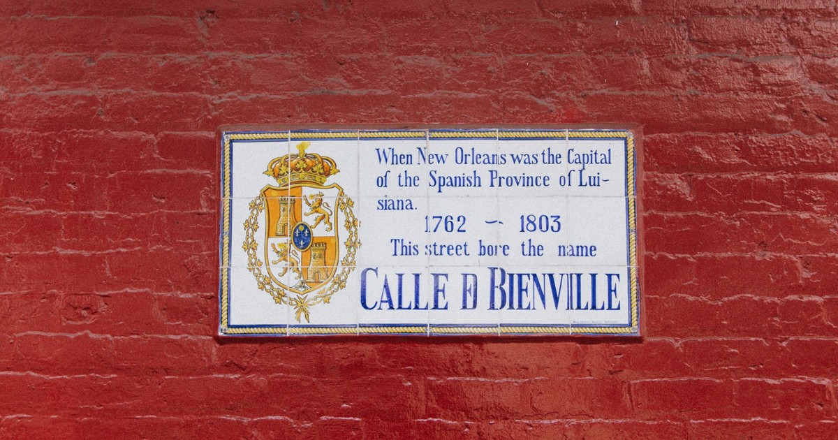
Some parts of New Orleans are already 15 feet below sea level, and its location on a river delta increases its exposure to both sea level rise and flooding. The city famously experienced the consequences of that geography in 2005, when Hurricane Katrina triggered one of the costliest natural disasters in American history. New Orleans has continued to sink since then, compounding the risk with each passing year.
The city’s low elevation, combined with serious problems in its drainage system and its position between wetlands, the Mississippi River, and two major lakes, significantly increases the severity of flooding. Half of New Orleans dropped below sea level during Katrina, resulting in over 1,800 fatalities and $150 billion in damage. The rebuilt levee system that followed is more robust than what existed before, but it was designed around historical flood scenarios, not the accelerated sea level rise projected through 2030 and beyond. Louisiana is also losing coastal wetlands at a rate that removes natural storm buffers faster than they can be restored.
Ho Chi Minh City: When the Delta Floods
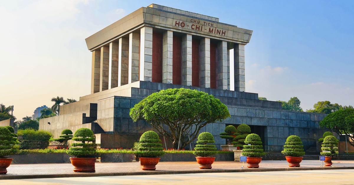
Vietnam’s largest city faces a combination of pressures that is almost unique in its severity. Around 45% of Ho Chi Minh City is less than a meter above sea level, and rapid development combined with groundwater pumping has caused significant subsidence. The city has already sunk half a meter in the past 25 years, and by 2050, parts of it could be swallowed entirely.
The eastern districts are the most exposed: flat, densely built marshland that sits at or near the tide line. During heavy rain or tropical storms, these neighborhoods flood not because water spills over the riverbank but because the drainage systems have nowhere to push the water. The ground is too low, and the river is too high. Rapid urbanization has replaced wetlands and mangroves that once absorbed surge events, so each storm now hits a city with less natural protection than it had a generation ago.
Kolkata: The Fertile Ground That Became a Liability
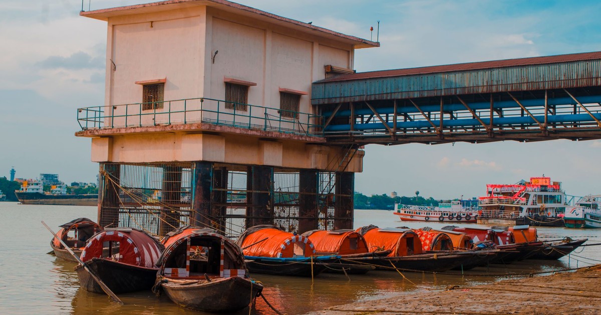
Much of West Bengal has thrived for centuries because of its fertile terrain, but that geography has become a cause for concern in Kolkata and its surroundings. Like Ho Chi Minh City, the city could struggle during monsoon season as rainwater has less and less land to absorb it.
Kolkata sits on the Ganges delta, a region of low-lying, water-saturated land that has been farmed and settled for millennia precisely because of its richness. The same properties that made it productive, flat, soft, river-fed, now make it acutely vulnerable to flooding as monsoons intensify and sea levels push inward from the Bay of Bengal. The city of 15 million is not in a position to build a MOSE-style barrier or relocate its capital. Its options are narrower, its resources more constrained, and its window for action shorter than almost any other city on this list.
Alexandria: History Repeating Itself
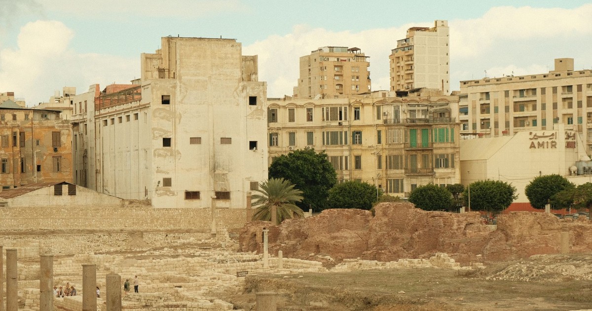
For thousands of years, Alexandria’s fortunes have risen and fallen with the sea. The historic Egyptian city was built by Alexander the Great in 331 BC. From Cleopatra’s palace to the remains of the Lighthouse of Pharos, Alexandria has treasures buried beneath it. Over the centuries, the seas have consumed much of ancient Alexandria. The city has faced earthquakes and tsunamis, and as a result, the coastline of the ancient city is largely gone. Rising sea levels are now affecting the Nile River delta, where Egypt grows most of its crops.
Modern Alexandria is a city of more than five million people sitting at or just above sea level on the Mediterranean coast. Regional sea level rise combined with the subsidence of the Nile delta beneath it creates a double squeeze. The port infrastructure, the residential neighborhoods closest to the waterfront, and the agricultural land to the south are all exposed. Egypt’s government has begun building coastal barriers in some areas, but the sheer scale of the delta’s vulnerability, hundreds of kilometers of low-lying farmland and settlement, puts the problem in a different category from a city like Venice, where a concentrated engineering solution was at least imaginable.
Banjarmasin: The City Below the River
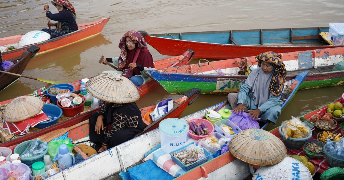
The Indonesian city of Banjarmasin is built largely below sea level on a swampy delta near the Barito River, which Climate Central’s projections show is set to regularly burst its banks by 2030. Known as the “City of Thousand Rivers,” Banjarmasin is also a center for indigenous Banjarese culture.
Unlike Jakarta, Banjarmasin doesn’t have the resources or the political profile to attract a $35 billion relocation plan. It is a regional city, important culturally and economically to the province of South Kalimantan, but not a place where national governments are building contingency capitals. Its exposure to flooding by 2030 is not a projection being modeled in distant think tanks. It’s visible from the streets, where floodwaters during the rainy season already reach into homes and businesses at a depth that would have been exceptional just a decade ago.
Read More: 12 countries that no longer exist — and why they disappeared
The Ground Beneath the Cities
The thread connecting all of these cities rarely makes headlines: it’s not just that the oceans are rising, it’s that the ground is simultaneously sinking. The 2024 Nature study found that 24 of the 32 U.S. coastal cities analyzed are currently sinking more than two millimeters per year, and half of those cities have areas sinking faster than global seas are rising. Coastal subsidence is often underrepresented in flooding models, meaning that the inundation these regions will experience due to rising sea levels may be worse than projected once you account for how rapidly the land itself is dropping.
That gap matters enormously for planning. When cities model flood defenses, they project against sea level rise figures. But if the city is also sinking at two centimeters per year, as Bangkok is, as parts of Houston are, then the effective rate of relative sea level rise is much higher than the global average figure suggests. A city that assumes it has thirty years of runway might actually have fifteen.
A key factor in determining whether a city will survive isn’t necessarily the rate of sea level rise but the capacity of that city, or country, to develop long-term defenses. Venice and the Netherlands have spent billions on engineering solutions that work, at least for now. The Maldives is building a floating city. Jakarta moved its government. Miami is installing pumps and raising roads. These are not small undertakings, and they are not guaranteed to succeed. But they represent a choice, to fight, to adapt, to invest, that not every city on this list can afford to make.
For cities like Alexandria, Kolkata, Banjarmasin, and Ho Chi Minh City, the question isn’t whether the water is coming. It’s whether the resources, the political will, and the time exist to meet it. In some cases, those cities are in the middle of deciding that right now. In others, the answer is being written by the flooding that’s already underway.
What This Actually Means
The cities disappearing by 2030 won’t vanish overnight. Most of them will flood incrementally, become expensive to insure, difficult to mortgage, and hard to live in during the wrong season. Miami will keep pumping water off its streets on clear afternoons. Venice will keep raising its gates with increasing frequency. Bangkok will keep watching its airport approach the tide line. Each of these is a city making a bet, spending real money and political capital on the assumption that the problem can be held back long enough.
The people with fewest options will stay longest in the places most exposed. That’s the part of this story that doesn’t fit neatly into a map projection: it isn’t an engineering problem or a policy problem first, it’s a resource problem. The cities with money and political will are fighting. The cities without are absorbing. By 2030, that division will be more visible than it is today, written in floodlines and insurance maps and the gradual departure of anyone who can afford to leave.
AI Disclaimer: This article was created with the assistance of AI tools and reviewed by a human editor.