
When Californians talk about natural disasters, the conversation almost always turns to earthquakes. The Big One. The fault lines. The ground that could open up without warning. It’s a fear that’s practically written into the state’s identity. But the el niño california risk tells a different, and in many ways more pressing, story. Water, not shaking ground, is increasingly the force rewriting California’s geography, its housing market, and the calculations its residents make every time storm season rolls around.
El Niño is the name given to a periodic warming of sea surface temperatures in the central and eastern equatorial Pacific. It sounds technical, but the effects are anything but abstract. When those ocean temperatures rise, they alter the jet stream, that river of high-altitude wind that carries weather systems across the continent, nudging it southward and routing storms directly into California’s coast with unusual regularity and force. The result, in strong El Niño years, is a state drowning in rain it cannot always absorb and scrambling to protect communities that weren’t built with this much water in mind.
What’s changed is that we’re no longer just talking about cyclical bad luck. With a potential “Super El Niño” now entering the picture for 2026-2027, the stakes feel considerably higher than they did even a decade ago.
What El Niño Actually Does to California
El Niño years often unleash relentless rains across California and the Southwest, driven by a strengthened and southward-shifted jet stream. While this brings much-needed relief to drought-stricken areas, it also increases the risk of flooding, mudslides, and erosion.
The geography matters here. Historically, the presence of El Niño conditions tilts the odds in favor of wetter than normal precipitation across the southern third of the state. But the risks don’t stop at the rain gauge. The same mechanism that fills reservoirs can overwhelm storm drains, saturate hillsides, and set off a cascade of secondary disasters that rain alone doesn’t explain.
The changes in winds, ocean surface temperatures, and location of thunderstorms in the equatorial Pacific associated with El Niño can influence the position of the jet stream and alter storm tracks at mid-latitudes, such as the U.S. West Coast and California, including the frequency and characteristics of storms. In practice, that means California doesn’t just get more rain. It gets rain delivered in surges, through atmospheric rivers, those high-altitude corridors of concentrated moisture that hit like a fire hose aimed at a hillside.
During the 2023-2024 El Niño, California saw above-average rainfall, replenishing reservoirs but overwhelming urban drainage systems. The Sierra foothills and coast regions, in particular, faced flash floods and significant mudslides.
The Coastline Quietly Disappearing
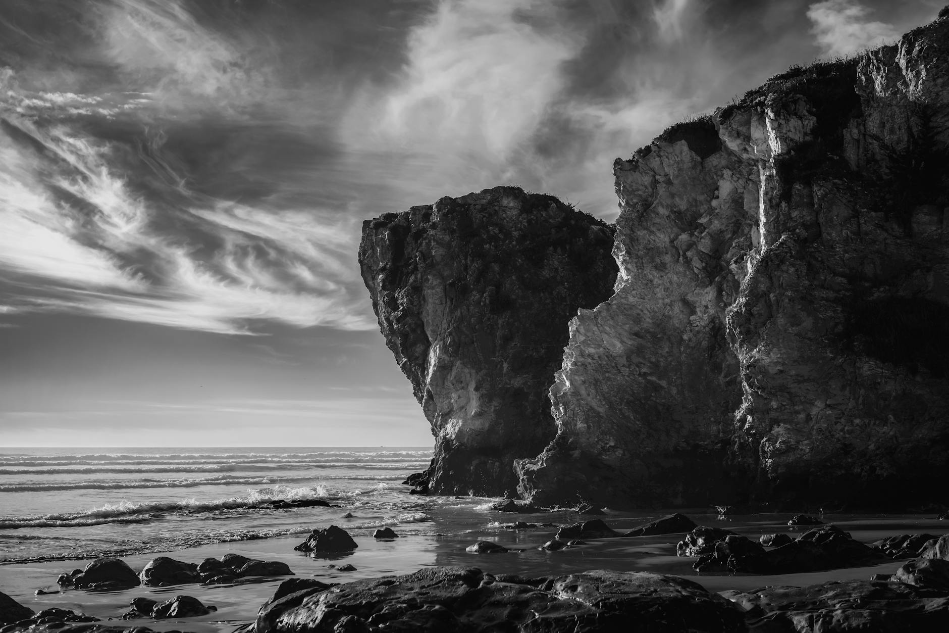
Most people know about flooding from El Niño. Fewer know about what it does to the actual shape of California’s coast. The damage is slower, less photogenic, and far more permanent.
According to the California Coastal Commission, coastal hazards associated with extreme El Niño events include waves as sources of flooding and erosion, landslides, debris flows, and road closures. In the wake of the 1982-83 El Niño, the US Army Corps of Engineers reported 33 oceanfront homes had been destroyed and that another 3,000 homes along with 900 coastal businesses were damaged by associated storm surge, waves, erosion, and other forces.
The 1997-1998 event left a similar mark. During the 1997-98 El Niño event, there were 17 storm-related deaths in California and at least 27 homes were red-tagged within the coastal zone. While the 2015-16 El Niño winter did not bring extraordinary rainfall, it did cause record coastal erosion along many California beaches, including an average of around 150 feet of erosion for Central California.
That number, 150 feet, is worth sitting with. That’s not erosion measured in inches over decades. That’s a football field-and-a-half of coastline gone in a single winter. Research by Barnard et al. has shown that coastal erosion in California increases by over 69% during extreme El Niños and is primarily driven by increases in wave stress, including energy and directional shifts and sea level.
And the coast doesn’t recover quickly. Independent of future global sea level rise projections, El Niño conditions contribute additional periodic increases in sea surface height as the warm water expands and storms approach the coastline. This seasonal increase in sea levels makes low-lying areas particularly vulnerable to extreme high tides, which can cause coastal flooding much further inland than normally observed.
The Burn Scar Problem Nobody Saw Coming
This is where the el niño california risk takes on a dimension that previous generations of residents didn’t have to reckon with at the same scale. After years of catastrophic wildfires, California now carries a patchwork of burn scars across its landscape, areas where the vegetation is gone, the soil has been baked into a water-repelling crust, and the slopes are primed to send anything that falls on them rushing downhill at speed.
An atmospheric river can deliver excessive rainfall across Southern California, raising fears that the rain could unleash a threat lingering in the burn scars of wildfires that ravaged Los Angeles communities in recent years. Called debris flows, these fast-moving slurries of floodwater and sediment can hurtle down slopes carrying cars, trees, and even boulders with them – what USGS research hydrologist Jason Kean describes as “a flood on steroids.”
The January 2025 fires removed much of the vegetation on really steep slopes, making those slopes really vulnerable to erosion during intense rainfall. That protective blanket of vegetation is gone, and heavy rain can rapidly create a flash flood. In some cases, that flood can pick up material and turn into a debris flow.
What makes this especially serious is the timing problem. A debris flow doesn’t need a long rain or a saturated slope. It can start on a dry slope after only a few minutes of intense rain. “Intense” means a burst of rain at a fast rate, about half an inch in an hour. With debris flows, the rainfall rate matters more than total rainfall.
Flood risk remains significantly higher until vegetation is restored, up to five years after a wildfire. Given the scale of the 2025 Los Angeles fires, large portions of Southern California are sitting in that vulnerability window right now, with the next El Niño season already on the horizon.
You can read more about how California’s compound climate risks are reshaping daily life and community resilience in our piece on California’s shifting risk landscape.
A Decade’s Worth of Insurance Data Tells the Story
If you want to understand what El Niño really costs California, skip the meteorological reports and look at the insurance records.
A study analyzing 40 years of insurance data found that in Southern California, El Niño winters saw $170 million in insured losses during the study period, which translates roughly into $5 billion in estimated total damages, versus $17 million in insured losses during La Niña winters, or about $500 million total damages. A small number of events during those four decades had outsized impacts, with just 1 percent of flood events causing more than two-thirds of total losses.
That ratio, El Niño flood damage running ten times higher than La Niña, should reframe how we think about the risk. Earthquakes grab the headlines. El Niño quietly bills you.
The situation has grown more complicated since those numbers were compiled. The 2025 LA wildfires generated over $40 billion in insured losses, and FAIR Plan enrollment surged 43% between September 2024 and December 2025 as private carriers continued restricting their California books. Flood and debris flow damage, which doesn’t show up in the wildfire loss column, sits on top of this. When reinsurers look at Southern California, they see wildfire, flood, and mudslide exposures stacked on top of very high property values. A record-wet season reinforces that this is more than a wildfire story. It is an all-hazards, year-round risk.
What’s Coming Next
Scientists are now watching closely as signals of a potential “Super El Niño” emerge for 2026-2027. According to NOAA’s Climate Prediction Center, El Niño is likely to emerge as soon as May-July 2026, with an 82% probability, and persist through Northern Hemisphere winter 2026-27, with a 96% chance through December 2026 to February 2027. Strength remains uncertain: there is roughly a two-in-three chance of a strong or very strong event, but a one-in-three chance it comes in weaker than that.
Beyond sustained sea level rise, scientists expect major storms and flooding in the coming winter. They predict that these storms will be particularly strong as the effects of El Niño compound with the effects of climate change.
During the winter, El Niño’s role is to put its thumb on the scale and raise the odds of repeated atmospheric river events affecting California and wetter-than-average conditions across the southern tier of the U.S. Atmospheric rivers already account for a disproportionate share of California’s annual rainfall, so stacking El Niño conditions on top of a changing climate baseline means the storms that arrive won’t just be frequent. They’ll be hitting ground that’s already soaked.
The projection for what lies further ahead is stark: while over the next few decades the most damaging events are likely to be dominated by large El Niño-driven storm events in combination with high tides and large waves, impacts will generally become more frequent and more severe in the latter half of this century.
Read More: 11 American cities on the “climate safe” list experts say may thrive in the future
The Quiet Part
There’s something uncomfortable at the center of this conversation. The earthquake risk hasn’t gone away. The San Andreas is still there, and seismologists will tell you the probability of a major rupture along it within the next few decades is not trivial. But earthquakes happen, and then they’re done. Communities rebuild from a fixed event on a fixed day. Water damage is different: it comes in seasons, it builds on itself, it leaves hills destabilized for years, and it compounds with every new wildfire that clears more slope of the vegetation holding it together.
Research suggests that even as the climate grows hotter and drier overall, the precipitation that California does receive will arrive in stronger storms, increasing the risk from flooding. That’s California’s real bind. Not just wet years and dry years, but the same system delivering both extremes in increasingly sharp swings, with less and less time between them to recover.
The residents living near the Eaton Fire burn scar know this. So do the homeowners in Malibu who’ve watched their bluffs retreat. What’s harder to sit with is that the pattern isn’t a fluke, and it’s not going to smooth out. El Niño will return, as it always does, every two to seven years. What’s changed is what California looks like when it gets there.
Disclaimer: This article was created with AI assistance and edited by a human for accuracy and clarity.