
The number of properties in Harris County at risk of flooding is projected to reach 204,513 by 2050, up 21.7 percent from 2020. As one of the ClimaMeter study’s authors put it: “Climate change loads the dice toward more frequent and more intense floods.”
Jakarta’s northern districts are sinking by more than 20 centimeters a year. Miami’s streets flood on clear afternoons when no storm is within a thousand kilometers. New Orleans sits below sea level behind walls that are being slowly outpaced by the sea. These are not cities that ignored flood risk. They are cities that were officially certified as protected, and are now flooding anyway. Seven cities, on three continents, show what happens when official assurances about flood safety are outrun by a warming planet.
Most of these cities received their “safe” designation not as a guess but as a bureaucratic verdict: a flood zone map, a levee certification, an infrastructure upgrade. The people who bought property, built businesses, and raised children in these places did so with official confidence at their backs.
1. Jakarta, Indonesia
Jakarta is sinking faster than any other city in the world, with the north suffering the most. In some places the ground is dropping by more than 20 centimeters a year due to the overextraction of groundwater. Sea levels have risen about four inches in the last three decades, compounding flooding that in 2020 reached record levels, killed more than 60 people, and forced tens of thousands to evacuate.
About 40 percent of Jakarta is now below sea level, and it is estimated nearly half the city could be inundated and uninhabitable by 2050. By law, a third of Jakarta is supposed to be green, open space for rainwater absorption. In reality, it is less than 5 percent, leaving rainwater nowhere to go. Tidal flooding forces families to raise their houses on stilts just to stay above the waterline.
The Indonesian government’s response has been dramatic: rather than defend the city, it is building a new capital called Nusantara on the island of Borneo, more than 1,000 kilometers away. President Prabowo Subianto, who took office in October 2024, treats the relocation as a lower priority than his predecessor did. For the roughly two million people living in North Jakarta’s most flood-prone neighborhoods, the new city is an abstraction. The water is not. According to PBS NewsHour, the city’s situation continues to worsen as groundwater extraction persists.
2. Miami, Florida
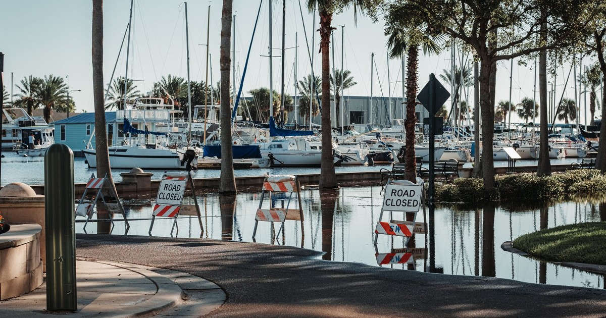
Miami sits on porous limestone, the kind of rock that seawater seeps through from below. Traditional seawalls offer little protection because the water does not go over the wall; it goes under it. That geological fact was known for decades and largely set aside during the city’s long boom. The frequency of high-tide flooding, known as “sunny day” flooding, is up over 400 percent in Miami Beach since 2006. These are not storm events but ordinary high tides pushing seawater up through storm drains onto streets on clear afternoons.
Researchers at the Organization for Economic Co-operation and Development listed Miami as one of the ten most vulnerable cities worldwide by the number of people at risk of coastal inundation, and the most vulnerable of all by the total value of assets at risk. Florida’s water levels have risen 8 inches since 1950 and are now rising as much as 1 inch every three years. By 2040, sea levels are expected to be 10 to 17 inches higher than 2000 levels, according to CNBC.
Miami Beach has spent hundreds of millions of dollars raising roads and installing pump stations. The pumps move water off streets and push it back into the bay, which is itself rising. Every inch of sea level rise counts in a place as flat as Miami, and property values in flood-prone zones have begun to reflect the risk that optimistic real-estate listings do not mention.
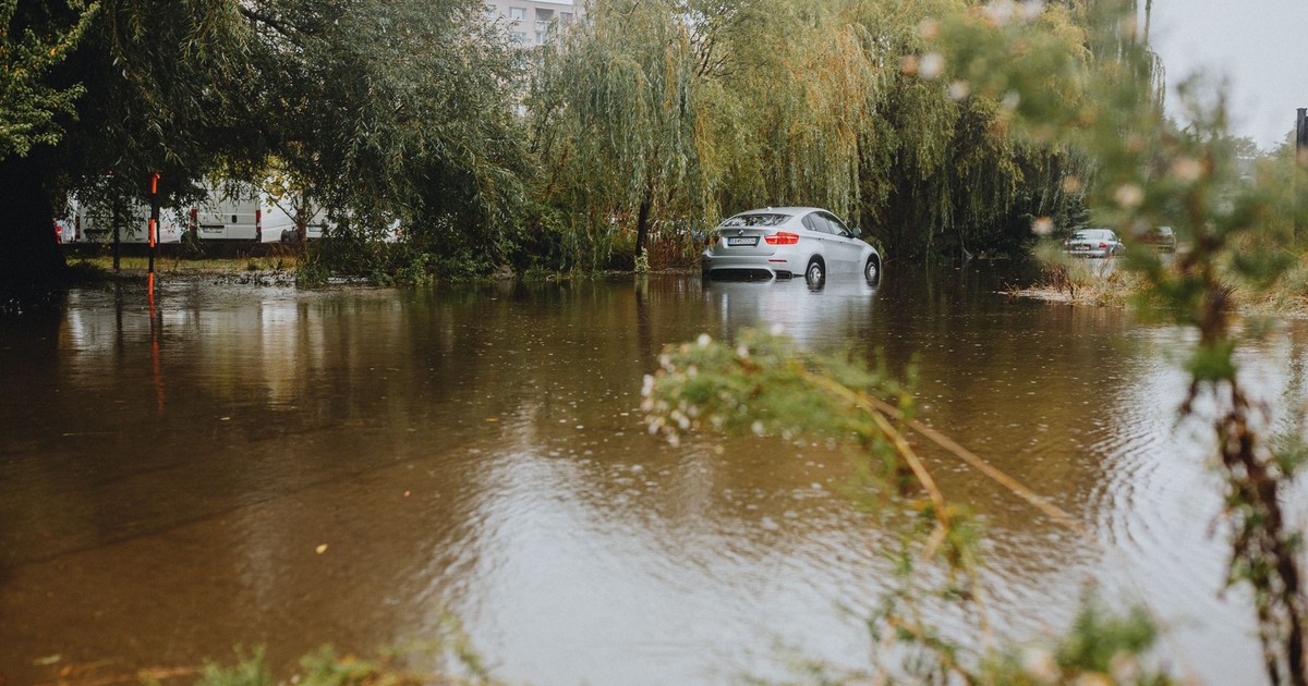
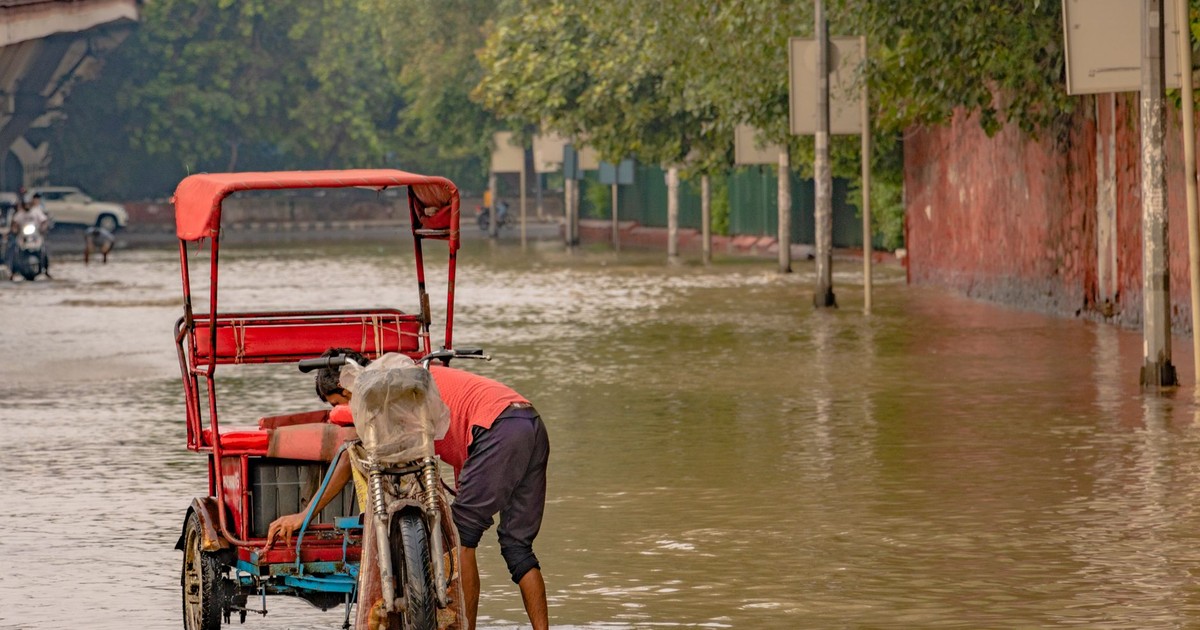
3. Houston, Texas
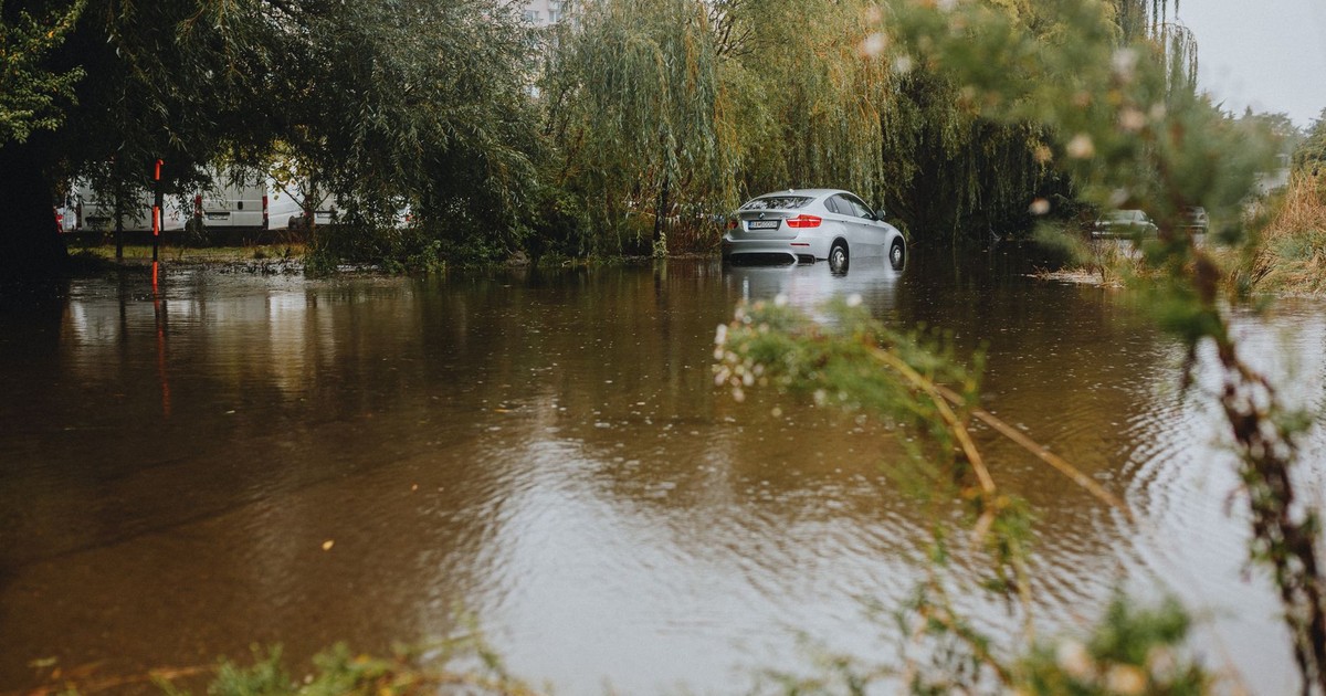
Houston’s flooding reputation was built around major storms: Harvey in 2017, Beryl in 2024. The city’s chronic flood problem runs deeper than hurricane season. FEMA has declared a disaster in the three most populous counties of Greater Houston 26 times in the past 41 years, roughly one major federal disaster every 19 months. An analysis of flood claims in southeast Harris County found that 75 percent of damages occurred outside the 100-year floodplain, meaning the official maps that told residents their neighborhoods were safe were wrong about where the water goes.
Houston’s rapid growth has expanded paved surfaces and reduced natural areas that absorb rainwater, increasing runoff and flood risk. On July 4, 2025, the Guadalupe River rose 26 feet in 45 minutes in the Texas Hill Country, killing more than 100 people. A study by ClimaMeter, a project funded by the European Union and the French National Centre for Scientific Research, found that meteorological conditions leading up to the floods were warmer and 7 percent wetter than similar past events, with natural variability alone unable to explain the changes in rainfall, according to Houston Public Media.
4. New Orleans, Louisiana
New Orleans was told repeatedly, and with institutional force, that it was protected. The levee system built after devastating mid-20th century storms was certified, mapped, and used to justify decades of development in areas that sit well below sea level. When Hurricane Katrina struck in 2005, it overwhelmed that system, resulting in more than 1,800 fatalities and over $100 billion in damage.
The response was a $14.5 billion post-Katrina flood protection system, the most expensive ever built in the United States at the time. Sea levels in Louisiana could rise by about one foot by 2050 and up to two feet by the end of the century. Under a more extreme scenario, sea level rise could displace 97 percent of New Orleans’ population. The land under the city is still sinking, a process accelerated by the channelization of the Mississippi River, which once deposited sediment that kept the delta replenished. That sediment now flows out to sea.
Buildings in New Orleans average about a 39 percent chance of a flood roughly 2 feet deep over a 30-year period, and 231 of 248 census tracts have more than half their buildings at significant risk from storm surge, high-tide flooding, and riverine flooding, according to Earth.Org. The post-Katrina walls bought time. How much remains the question most officials avoid answering specifically.
5. Bangkok, Thailand
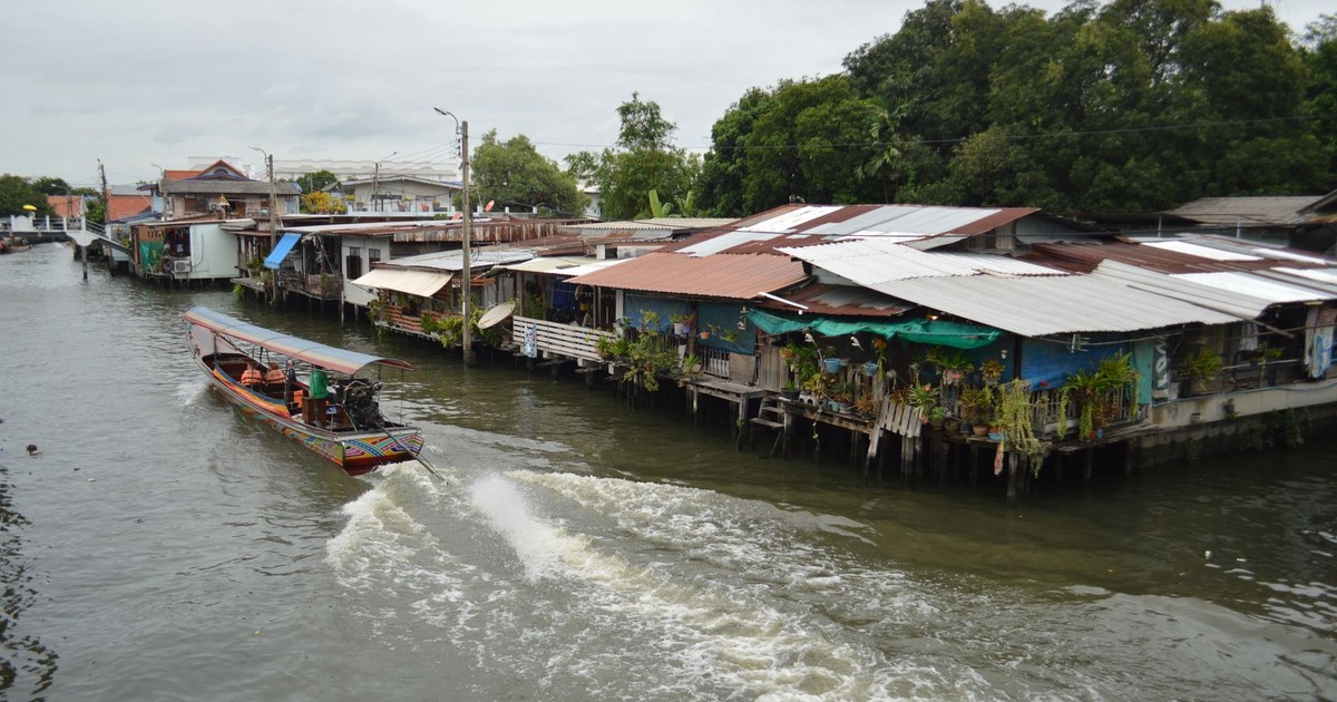
Bangkok was built on soft clay in a river delta, barely above sea level, with a population of around 11 million people. The city is sinking at a rate of more than 1 centimeter a year, and projections under higher emissions scenarios suggest parts of the city could fall below sea level in the coming decades. Regular monsoon flooding already gives residents a preview of what more permanent inundation could look like.
According to the OECD, five out of Bangkok’s 10.7 million people could be exposed to flood risk by 2070. Poor drainage systems do little to reduce severe flooding events that can persist for up to two months. The 2011 monsoon floods are the clearest example: water covered a third of the country for months, killed hundreds, and caused economic damage estimated at $45 billion, making it one of the costliest natural disasters in Thai history.
A 2024 study using climate projections found that Bangkok faces compound flood hazards from both river flooding and coastal processes, with these two threats reinforcing each other under worsening emissions scenarios. Relative sea level rise is projected to expand Bangkok’s inundation areas by 8.2 percent by 2050 and more than 21 percent by 2090. The city has built parks designed to hold floodwater, installed pumping systems, and raised flood barriers. The clay beneath it keeps compressing regardless.
6. Venice, Italy
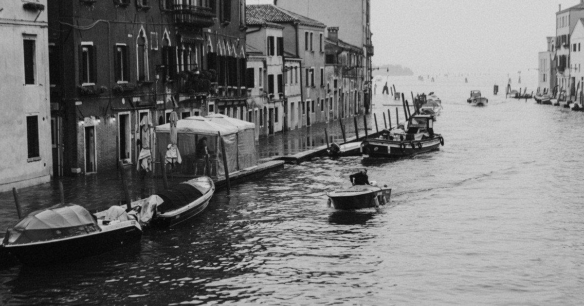
Venice received a different kind of reassurance than most cities on this list: a $6.5 billion engineering project called MOSE, a system of 78 moveable gates installed across the lagoon’s three inlets to hold back the Adriatic during extreme high-water events. The project took decades to build, was mired in corruption scandals, and finally became operational in 2020. It works, at the flood heights it was designed for.
The city sits on wooden pilings driven into a lagoon centuries ago. Those foundations are slowly sinking while the sea around them rises. The MOSE system was designed for sea level rise projections that are already being revised upward, and many experts doubt it will be sufficient beyond 2050. Flooding events known as “acqua alta” have become more frequent and more severe in recent years.
The basilica of St. Mark’s had been flooded only six times in the thousand years before 1900. Since 1950, it has been flooded more than 100 times. The MOSE barriers close when forecasted flood levels reach a certain threshold, but the system requires precise advance warning, is expensive to operate, and increases the salinity of the lagoon each time it is deployed, with consequences for the ecosystem that are still being studied.
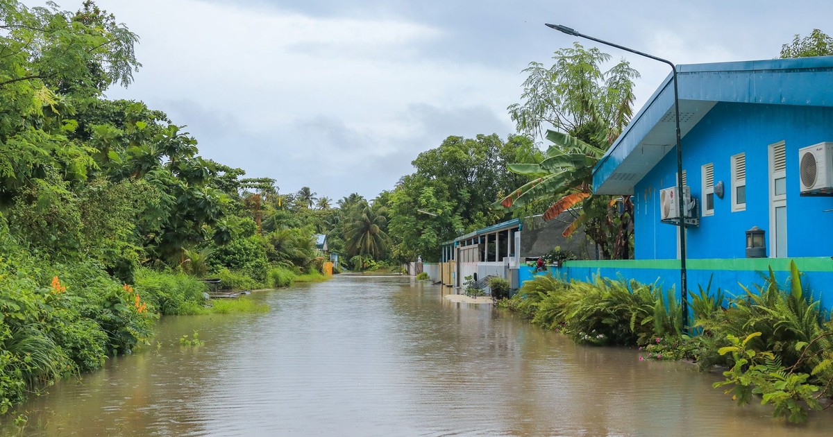
7. Dhaka, Bangladesh
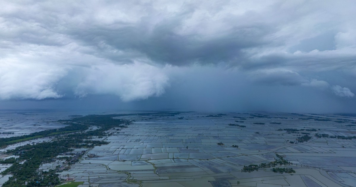
Dhaka is one of the most densely populated cities on Earth, with over 20 million people in a low-lying river delta that already struggles with flooding during the annual monsoon season. Bangladesh sits in the Bengal delta, a vast, flat network of rivers draining the Himalayas into the Bay of Bengal. Flooding has always been a feature of life here. The reassurances came later, in the form of embankments, flood control projects, and international development investments in drainage infrastructure.
Dhaka, Kolkata, and Mumbai have among the highest numbers of people at risk from coastal inundation of any cities globally, between 11 and 14 million people each. Bangladesh produces just 0.3 percent of the greenhouse gas emissions contributing to climate change, yet oceans could flood 17 percent of the country’s land and displace about 18 million people by 2050.
Flood embankments around Dhaka offer protection against river flooding but do nothing for rain that falls inside those barriers and has nowhere to drain. During the worst monsoon months, parts of the city stay submerged for weeks. Climate models show large areas of Dhaka potentially permanently flooded by 2050. The people living in the lowest-lying areas are the ones least able to go anywhere else.
Read More: The Deadliest Lake in Africa That Literally Exploded and Killed 1,700 People Overnight
What the Maps Don’t Show

Every city on this list has flood maps. Most have infrastructure projects, official adaptation strategies, and government bodies dedicated to managing water risk. Those documents share a built-in lag: they reflect the sea level, rainfall intensity, and land subsidence rates of a specific past moment, not the accelerating present.
The promises made to the people in these cities were not lies. They were calculations made with the data available and then left in place long after that data expired. Flood zone certifications get reviewed slowly. Property markets move faster than updated risk models. The political cost of telling residents that their homes are now in a danger zone that the last administration called safe is a cost most governments choose not to pay until the water forces the issue.
The cities flooding under climate change right now are not the ones where warnings went unheard. They are the ones where the reassurances held just long enough to matter.
AI Disclaimer: This article was created with the assistance of AI tools and reviewed by a human editor.