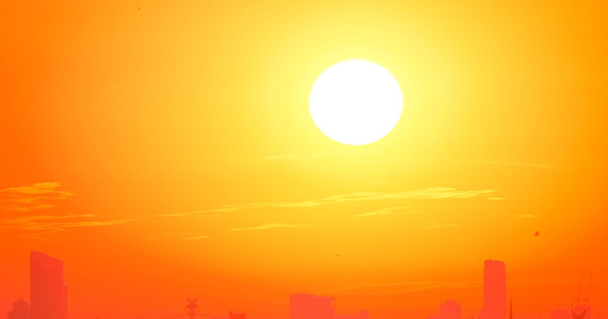

Salt Lake City, Utah, recorded 109 degrees Fahrenheit on July 12, 2026, the highest temperature since official measurements began at the site in 1874, obliterating the previous mark of 107 degrees that had stood since 1960. That number alone tells you something is different about this summer. But Salt Lake City was just the opening act.
The heat wave now bearing down on the United States this week is the country’s second major extreme-heat event in less than three weeks, arriving just days after tens of millions of Americans were already pushed to the edge by a punishing Fourth of July stretch. Forecasters predicted that more than 90 U.S. local temperature records will be tied or broken through Wednesday, with two-thirds of those being overnight heat records.
Records falling in the dead of night are often the ones that kill people. The body recovers from daytime heat during nighttime hours. When those hours are erased by relentless warmth, the cumulative toll on health accelerates fast.
Most of the Lower 48 states are sweltering under an unusually large, strong, and long-lasting heat dome, a stagnant region of high pressure that traps and enhances hot air, that forecasters have described as “significant and dangerous,” with temperatures running 15 to 25 degrees Fahrenheit warmer than normal in many areas, including at night. The following is a city-by-city breakdown of where this week’s heat is hitting hardest, what the numbers actually mean on the ground, and what comes next.
How This Heat Dome Works
The heat dome, formed when high pressure traps hot air while blocking cooling winds and rain, is one of the strongest to affect the Dakotas in 25 years, according to AccuWeather senior meteorologist Chad Merrill. A heat dome works like a lid on a pot: it prevents any of the hot air from escaping, and it blocks the rain or cloud cover that would otherwise break the cycle. The longer it sits stationary over a region, the more extreme the temperatures become.
This weekend’s extreme heat was driven by a strong high-pressure system parked north of the Four Corners, the intersection of Utah, Colorado, Arizona, and New Mexico, before the system began tracking eastward, dragging its effects across the Great Plains and toward the Northeast. The dome is likely to persist so long in part because drought-stricken areas have less soil and air moisture to slow the warming of air, and the drier, hotter air then worsens drought conditions and stokes more heat in a self-reinforcing cycle.
The link between climate change and heat waves like those seen this summer is especially strong and well understood. As the planet warms, extreme heat events are becoming more common, intense, and long-lasting. March through May 2026 ranked as the second-warmest spring in records going back to 1895 for the contiguous United States, with only 2012 posting a warmer spring in 131 years of data. This heat wave did not arrive in a vacuum.
Salt Lake City, Utah: A Record 152 Years in the Making
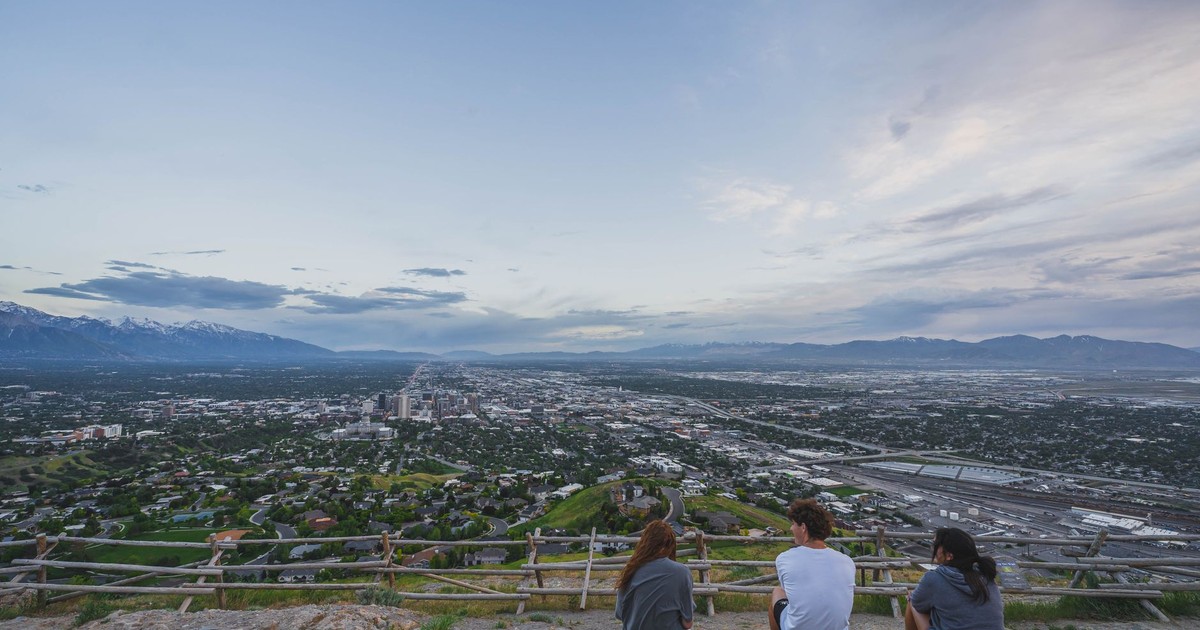
Sunday, July 12, was officially the hottest day in Utah’s capital city since records were first kept more than 150 years ago. The temperature at the National Weather Service‘s official station near Salt Lake City International Airport reached as high as 109 degrees shortly before 3 p.m., coming approximately 20 minutes after hitting 108 degrees and surpassing the previous record of 107 degrees, first set on July 26, 1960, and matched four other times since.
The temperatures were so extreme that a plane headed to Salt Lake City International Airport was forced to divert. Paralympic snowboarder Brenna Huckaby posted on Threads: “It’s so hot in SLC the airplane I’m on can’t land until it’s 106 degrees out (currently 109) so they are diverting us to Twin Falls until we can try again for SLC.”
Overnight lows offered little relief from the heat, making this heat wave especially dangerous. When nighttime temperatures stay elevated, the human body cannot adequately cool itself during sleep, and heat-related illness compounds through the day, a risk particularly acute for the elderly, infants, and those without access to air conditioning.
The record-breaking heat was not limited to Salt Lake City. Several other all-time record highs were broken in Utah on the same day. One of Logan’s weather sites reached at least 106 degrees, while the official Utah State University station recorded 102 degrees, surpassing its previous record of 99 degrees set in 2002. Ogden tied its all-time high of 106 degrees.
This event adds yet more high-temperature records for Utah, which experienced its warmest year on record in 2025 after an unusually warm end to the year, snapping a record dating back to the Dust Bowl era in 1934, according to the Deseret News.
Billings, Montana: 111 Degrees in Big Sky Country

Billings, Montana, reached 43.9°C (111°F) on Sunday, July 12, 2026, setting an all-time temperature record as Extreme Heat Warnings remained in effect across parts of the western United States. Montana is not a state typically associated with triple-digit heat. Its record-setting temperature this weekend reflects just how far north and how deeply inland this heat dome extended.
NWS Billings also reported elevated to critical fire-weather concerns during the hot period, because of hot temperatures, low relative humidity, and breezy winds. The July 12 climate report recorded a lowest relative humidity of just 4%, an average relative humidity of 24%, and a highest wind gust of 85 km/h (53 mph). Those are conditions under which wildfires ignite easily and spread rapidly.
Salt Lake City’s July 12 high was 15 degrees Fahrenheit above its normal high of 94°F, and Billings’s reading tracked similarly far above its historical averages for the date. The Weather Prediction Center said the heat wave produced all-time record highs across portions of the Great Basin to the northern High Plains on July 12, with triple-digit temperatures spreading across the northern Plains.
For a region where summer tourism, agriculture, and outdoor labor are central to daily life, a sustained period of this heat carries serious economic and public health consequences that extend well beyond the temperature reading itself.
Phoenix and Tempe, Arizona: Extreme Heat Warnings Through the Week
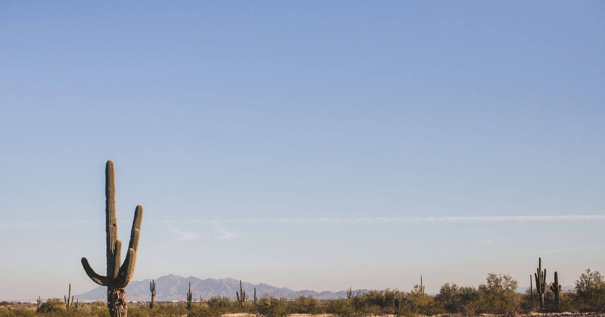
Phoenix is accustomed to brutal summers. But even by that city’s standards, the current event is severe. Phoenix is in the middle of a multi-day extreme heat event with temperatures forecast to reach 114°F, among the highest of the 2026 heat season so far. Conditions this week are dangerous enough to threaten serious heat-related illness in unprotected individuals spending extended time outdoors.
Dangerously hot conditions are gripping the Phoenix metropolitan area, with temperatures forecast to reach 113 to 114°F through Thursday evening. The National Weather Service issued an Extreme Heat Warning for Maricopa County through 8 p.m. MST Thursday, its highest-level heat alert.
Overnight lows this week are forecast to remain near or above 87 to 90°F, warm enough that the body cannot fully recover from daytime heat exposure even during sleeping hours. That sustained warmth through the night is what transforms a hot week into a public health emergency. University of Georgia meteorology professor Marshall Shepherd put it plainly: “That’s where the health outcomes are amplified, particularly for the elderly and vulnerable communities.”
The 2026 Maricopa County heat surveillance dashboard notes that confirmed deaths are tracking higher than at the same point in 2025, and heat kills more Americans each year than any other weather-related event. Tempe, which borders Phoenix to the east and sits at a slightly lower elevation, is expected to match or exceed Phoenix’s readings through Wednesday.
For context on what that means physically: at 114°F, the asphalt surface temperature in direct sunlight can exceed 160°F. Touching a metal seatbelt buckle can cause second-degree burns. A car interior left in the sun can reach 180°F within an hour.
Las Vegas, Nevada: Hottest Day of 2026
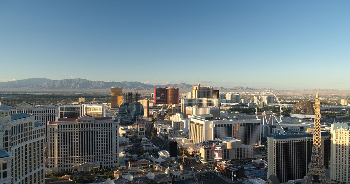
The 110s have finally arrived in Las Vegas. After flirting with 110-degree temperatures last month, the Las Vegas Valley broke through that barrier on Thursday afternoon during this intense July heat wave. Harry Reid International Airport reached 110 degrees at 1:33 p.m. and later climbed to 111 degrees, making it the hottest day of the year for the valley.
Temperatures were running about 5 to 10 degrees above normal by midweek, with forecasts calling for 107 to 110 degrees on Wednesday and highs of 111 possible through the weekend. The valley was expected to hit 110 or above on Friday and Saturday, with Sunday’s forecast high at 109. Triple-digit temperatures are projected to remain in place throughout the week, with no meaningful overnight relief. Conditions are expected to be only slightly cooler by Sunday as a hint of monsoon moisture enters the region.
Las Vegas’s situation is also compounded by the urban heat island effect, the phenomenon where cities, with their density of concrete, asphalt, and buildings that absorb and re-emit heat, stay significantly warmer than surrounding rural areas. In a desert city built almost entirely of heat-retaining materials, nighttime temperatures that should be in the 80s can feel closer to the interior of an oven.
New York City and Philadelphia: The Northeast Bakes
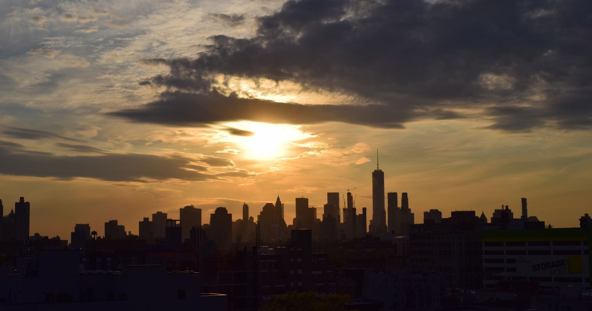
The movement of this heat dome toward the Northeast represents its second major phase, and for cities with dense populations and significant infrastructure strain, it may be the most consequential.
Experts forecast that Wednesday will be the hottest day for much of the Northeast. In New York City, temperatures are expected to reach as high as 103 degrees Fahrenheit. In Philadelphia, it could be even hotter, with some forecasters predicting 107-degree weather.
These are not typical summer readings for either city. New York City’s Central Park reaching 103°F would approach the all-time record high for the station. For Philadelphia, a 107-degree day would rival the most extreme heat events in the city’s long history. The combination of heat and humidity in the Northeast, where Atlantic moisture interacts with the heat dome, creates a heat index (the “feels like” temperature accounting for humidity) that pushes even further beyond the raw air temperature. At 103°F with 50% humidity, the heat index can exceed 120°F.
Through the Fourth of July holiday period, over 165 million Americans in the Midwest and East had been at risk of either “major” or “extreme” heat-related health issues, with the Northeast now squarely in the crosshairs again. That population density matters: cities with large numbers of residents in older buildings without central air conditioning, or unhoused individuals without shelter access, face disproportionate risk.
During the earlier July heat event, a 68-year-old man died after trimming bushes in Bethel Township, Pennsylvania, where high temperatures had passed 100 degrees. The Berks County Coroner’s Office determined the cause of death was a heart attack from strain “due to heat exhaustion.” These are the human costs embedded in temperature readings that can look abstract on a map.
Fort Lauderdale, Florida; Brownsville, Texas; and the South’s Relentless Heat

While the Northeast braces for its peak, cities across the South face a different but equally grinding version of this event: triple-digit heat that simply refuses to leave.
Triple-digit temperatures are expected to drag on throughout the week in Fort Lauderdale, Florida; Las Vegas, Nevada; and Brownsville, Texas. For these cities, the particular danger is duration. A single day of extreme heat is survivable for most people who take precautions. Four or five consecutive days, with overnight temperatures that stay elevated, is categorically more dangerous.
Temperatures are not forecast to drop below 80°F at night in Fort Lauderdale, Florida; Miami; Tampa, Florida; Galveston, Texas; and Charleston, South Carolina. In Fort Lauderdale, where summer humidity routinely pushes heat indices well above the air temperature, overnight lows near 80°F mean the body gets essentially no recovery time between the heat of one day and the next.
Brownsville, situated in the Rio Grande Valley at the southern tip of Texas, faces its own persistent heat burden. A Moderate Level 2 of 4 Heat Risk remained in place across Deep South Texas and the Rio Grande Valley through the week, according to the National Weather Service Brownsville office. The Rio Grande Valley is also a region with significant farmworker populations whose work cannot be easily moved indoors or rescheduled, making occupational heat illness a serious ongoing concern.
What Follows the Heat: A Storm Threat Replaces It
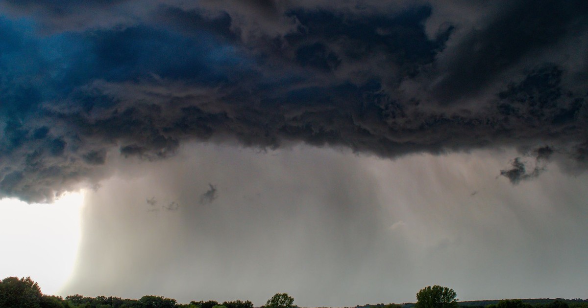
In the latter part of the week, temperatures in the Northeast will start dropping to the 80s, according to AccuWeather. But as the heat wave subsides, another potentially hazardous weather phenomenon will come to parts of the U.S.: thunderstorms, with gusty winds and heavy downpours expected to batter Wisconsin and the mid-Atlantic states.
The same dynamics that produce heat domes can generate violent storms when the pattern finally breaks. As the stagnant high-pressure system weakens or shifts, it creates instability at the boundary where hot, dry air meets cooler, moister air. The energy release can be intense. Thunderstorms could be another uninvited guest later in the week, as extreme heat and humidity will fuel a storm threat for parts of the mid-Atlantic and Northeast.
The National Weather Service in Salt Lake City also warned residents that there was an increased risk for flash flooding during the latter part of the week because of the heavy rainfall expected as monsoonal moisture moves in behind the retreating high-pressure system. Burn scars from wildfires in the region are particularly vulnerable to flash flooding, as the scorched soil repels rather than absorbs water.
What Officials and Meteorologists Are Telling People Right Now
The guidance from meteorologists and public health officials has been consistent and urgent throughout this event. Brandon Buckingham, an AccuWeather meteorologist, was direct in his recommendation: “It is recommended that residents, who are able, remain indoors during peak heating hours. If you have to be outside, consider taking numerous breaks, utilizing shaded areas, wearing light-colored clothing and staying hydrated.”
Forecasters are advising people to stay hydrated and find places to cool off, warning of temperatures 15 to 25 degrees Fahrenheit warmer than normal in many areas, including at night, especially problematic for health because bodies won’t have a chance to recover.
The overnight temperature data is the detail that matters most from a health standpoint. Health experts say high overnight temperatures are particularly dangerous because there’s no time for the body’s core temperature to cool down and recover from daytime heat. For people without air conditioning, which includes a significant portion of older housing stock in Northeast cities, this is not a manageable inconvenience. It is a genuine physiological emergency.
Key Takeaways
The defining characteristic of this heat wave, compared to the ordinary discomfort of a hot July week, is its breadth, its intensity at night, and its arrival so soon after an earlier major event that already stressed public health systems, power infrastructure, and individual bodies.
More than 90 U.S. local temperature records are forecast to be tied or broken through Wednesday, with two-thirds of those being overnight heat records. That last number is the one to pay attention to. Overnight records are not broken because it’s hot at noon. They are broken when the entire system fails to cool, when the atmosphere holds its heat through the night and begins the next day already warmer than it should be. That compounding effect is what turns a heat wave from a weather event into a body-count event.
Kim Cobb, a climate scientist at Brown University, put it plainly: “Make no mistake, the primary driver for the uptick in deadly heat waves across the world is the burning of fossil fuels, given that a modest baseline warming drives an exponential increase in extreme heat.” The science on attribution, the study of how much human-caused warming is responsible for specific extreme events, is increasingly precise, and the conclusion points in one direction.
For anyone in an affected region this week: the practical priorities are to stay indoors during the hottest hours (roughly 10 a.m. to 8 p.m.), drink water before feeling thirsty, use cooling centers if air conditioning is unavailable, and actively check on elderly neighbors and family members who may not ask for help. Heat illness progresses faster than most people expect, and its early symptoms, heavy sweating, muscle cramps, dizziness, and headache, are easy to dismiss as ordinary summer discomfort until they aren’t.
Disclaimer: This information is not intended to be a substitute for professional medical advice, diagnosis, or treatment and is for information only. Always seek the advice of your physician or another qualified health provider with any questions about your medical condition and/or current medication. Do not disregard professional medical advice or delay seeking advice or treatment because of something you have read here.
AI Disclaimer: This article was created with the assistance of AI tools and reviewed by a human editor.